This is the classic Williamstown Hike. If you haven’t been there before, now is the time. An “out and back” 3 mile trip to the top will take about 2 hours at a moderate pace, longer if you linger. A good workout for the whole family with a great payoff at the top. Because this can be a busy trail, please keep your dog on a leash.
This moderately strenuous hike usually starts at the Pine Cobble Trailhead on Pine Cobble Rd. The small parking area may be full, so consider an early start. An alternative starting point is the Chestnut Trail, there’s parking for a few cars on the side of the road. Either trailhead is within biking and walking distance from pretty much anywhere in central Williamstown or the White Oaks area.

Distances: 3 miles out and back
Difficulty: Moderate
How to get there
Pine Cobble Trailhead
- From the intersection of Rts. 2 and 7 in Williamstown (the roundabout):
- Follow Route 2 east.
- After 0.6 mi., turn left on Cole Ave. at the first stoplight.
- You will cross a bridge over the Hoosic River just before North Hoosac Rd.
- Turn right on N. Hoosac (1.4 mi.) and then left on Pine Cobble Road at 1.8 miles.
- Park in the parking area on the left 0.2 mi. up the hill. The trailhead is across the road.
Chestnut Trailhead
- Take Route 2 east from its junction with Route 7 at the roundabout.
- After 0.6 mi., turn left on Cole Ave. at the first stoplight.
- You will cross a bridge over the Hoosic River and railroad tracks just before North Hoosac Rd.
- Turn left on N. Hoosac (1.4 mi.) and then right on Chestnut Street at 1.5 miles.
- Look closely! The trailhead is on the right, opposite an open field, at about 1.7 mi. Park on the ‘field’ side of the road.
Parking and Trailhead Directions
Chestnut Street Parking Directions on Google MapsPine Cobble Hike Parking Directions on Google Maps
Description
From Pine Cobble Trailhead
At the Pine Cobble Trail sign (0.0 mi.) hike parallel to the road for 200 yards before turning left and ascending gradually into the woods. The trail is generously blazed in blue paint. Pass some impressive Black Locust trees with their deeply corrugated bark. Wood from these trees is very rot resistant and was used to make fence posts around many old agricultural fields.
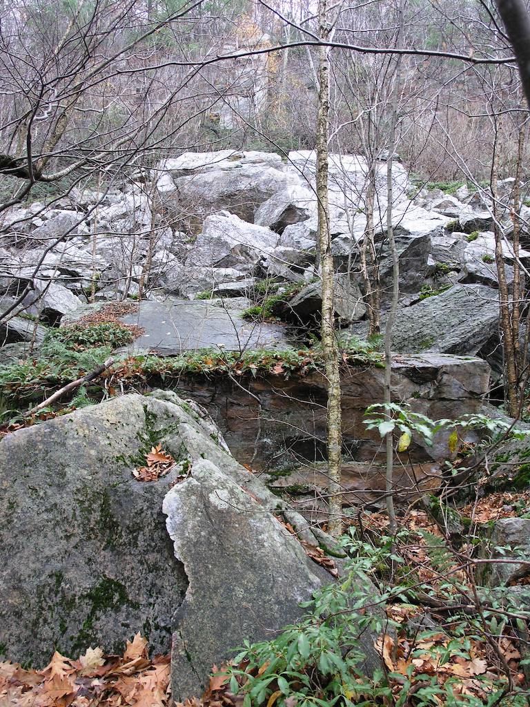
The trail levels out on a plateau at 0.5 mi. This is thought to be the “beach” of a large glacial lake that covered the valley at the end of the last ice age. White sand is created as the quartzite and marble erode off of the rocks of the Cobble.
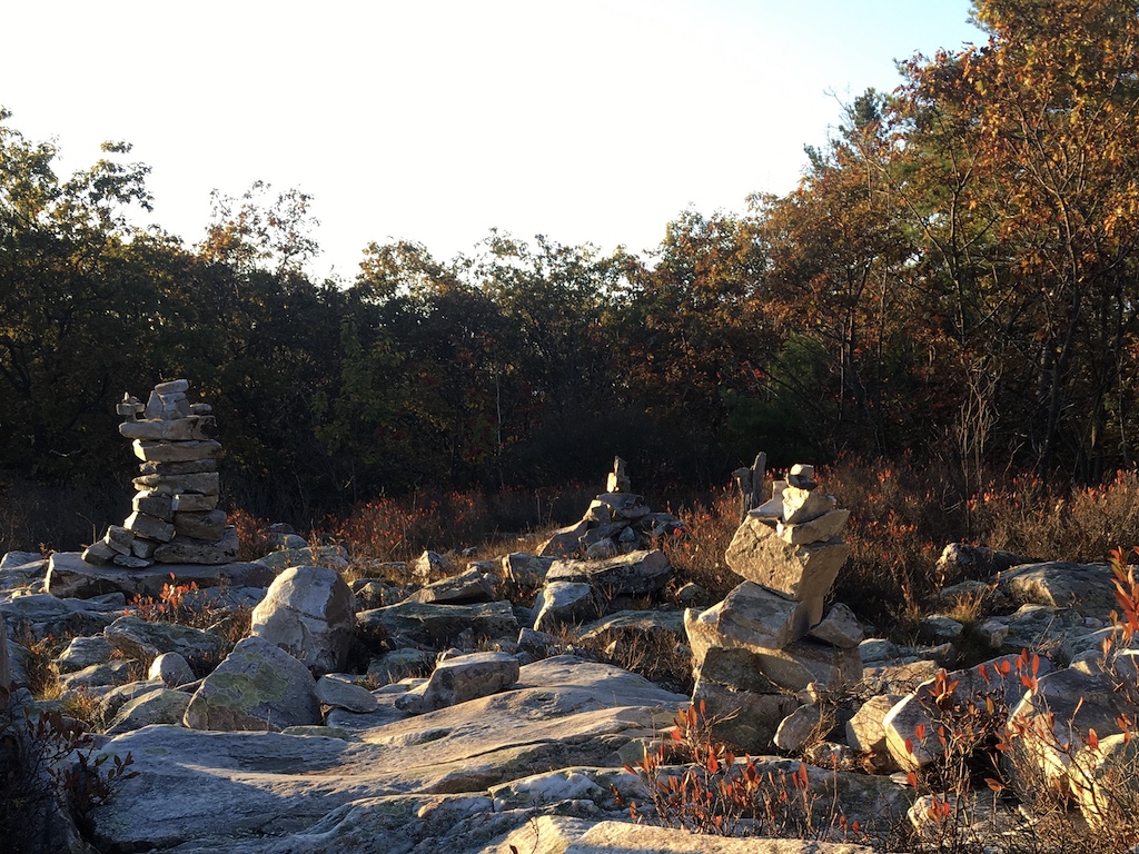
Large trees give way to small oaks and beech as the trail continues at a moderately steep grade, past the beginning of the Class of ‘98 Trail (we’ll come back to this), shortly after the junction cross onto land purchased by Williamstown Rural Lands to preserve the Cobbles. You will reach another more level area at 1.0 mi., then the trail turns to the southeast. Cross two small jumbled rock outcroppings. As you continue uphill, watch for an unusual triplet oak tree with a water-filled basin at its center (1.4 mi.). A final steep stretch completes the climb (1.5 mi.) to a sign post. Several short (0.1 mi.) trails to the right lead out onto the quartzite outcrops of Pine Cobble.
There are views of Williamstown and the Taconics to the west–on clear days, the peaks of the Catskills to the south and the Adirondacks to the north can be seen. Then you can clamber over the very top of the Cobble to the other side and see a panoramic view of North Adams and the Hoosic Range to the east. Greylock is to the south.
After taking in the view (and maybe some water and snacks that you have brought along) you can descend 1.5 miles back to the trailhead the same way you came up, or continue north, following more blue blazes to the A.T. and the Class of ’98 Trail, which will return you to your starting point for a 3.2 mile round trip.
To hike the full loop, head back from the viewpoints to the signpost, and continue to follow the blue blazes north–initially on mostly level ground. As the trail climbs slightly, you will cross a flat piece of bedrock with an embedded bolt that was used to stabilize poles for a telephone line that ran over the mountain between Williamstown and North Adams. You may also see blue paint on trees marking the boundary of Clarksburg State Forest, stay on the trail as it crosses the boundary.
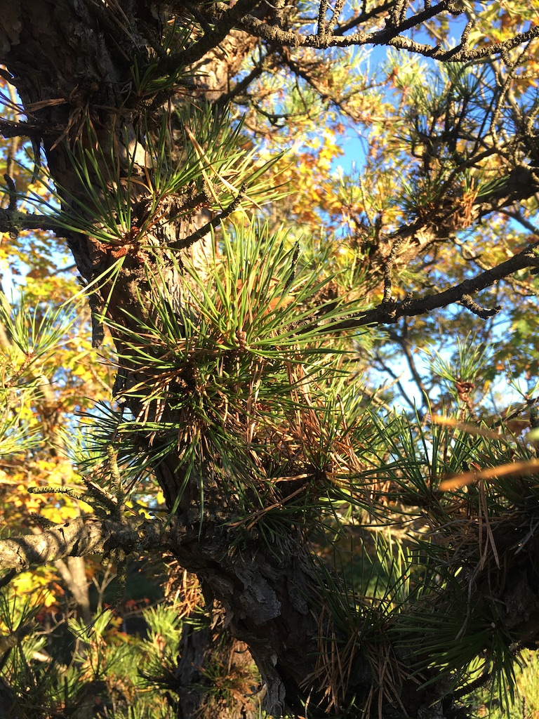
You soon emerge onto a boulder field, interspersed with numerous blueberry bushes (ripe in July). A short climb leads to the summit of East Mountain, where the Pine Cobble Trail ends and joins the Appalachian Trail in a patch of scrub pines (2.1 mi.).
Bear left (northbound) on the white-blazed A.T. for 0.2 miles, where the Class of ‘98 Trail enters on the left. Back on blue blazes for another 1.6 miles, the ‘98 Trail descends and slowly curves towards the south along the shoulder of the mountain before dropping steeply for a short distance through a scenic ravine.
The trail then levels out and proceeds south again. The Chestnut Trail joins on the right and leads 0.7 miles down to Chestnut Street where there is limited roadside parking. The ‘98 continues south for another 0.7 miles and rejoins the Pine Cobble Trail where a right turn will take you back to the Pine Cobble Trailhead.
Plan about 3 hours for the full loop with some time to linger at the Cobble viewpoint.
Dusty Griffin