Berlin Road Preserve
Location
Map Legend
Icons on the map can be clicked to get directions on Google Maps (works best for Parking Icons).
Directions
Drive south on Routes 7 and 2 from downtown Williamstown (2.3 mi.).
Turn right (west) on Route 2 and then left on Torrey Woods Road (2.6 mi.).
At the first intersection, continue straight on Berlin Road, a dirt road (3.0 mi.).
Drive uphill 1.7 mi. past the last of the houses.
On the left there is a small parking lot for 2-3 cars, as well as a kiosk. (4.7 mi.)
This property can also be accessed by trails from the Berlin Mountain Recreation Area’s main parking lot at the end of Berlin Road.
Overview
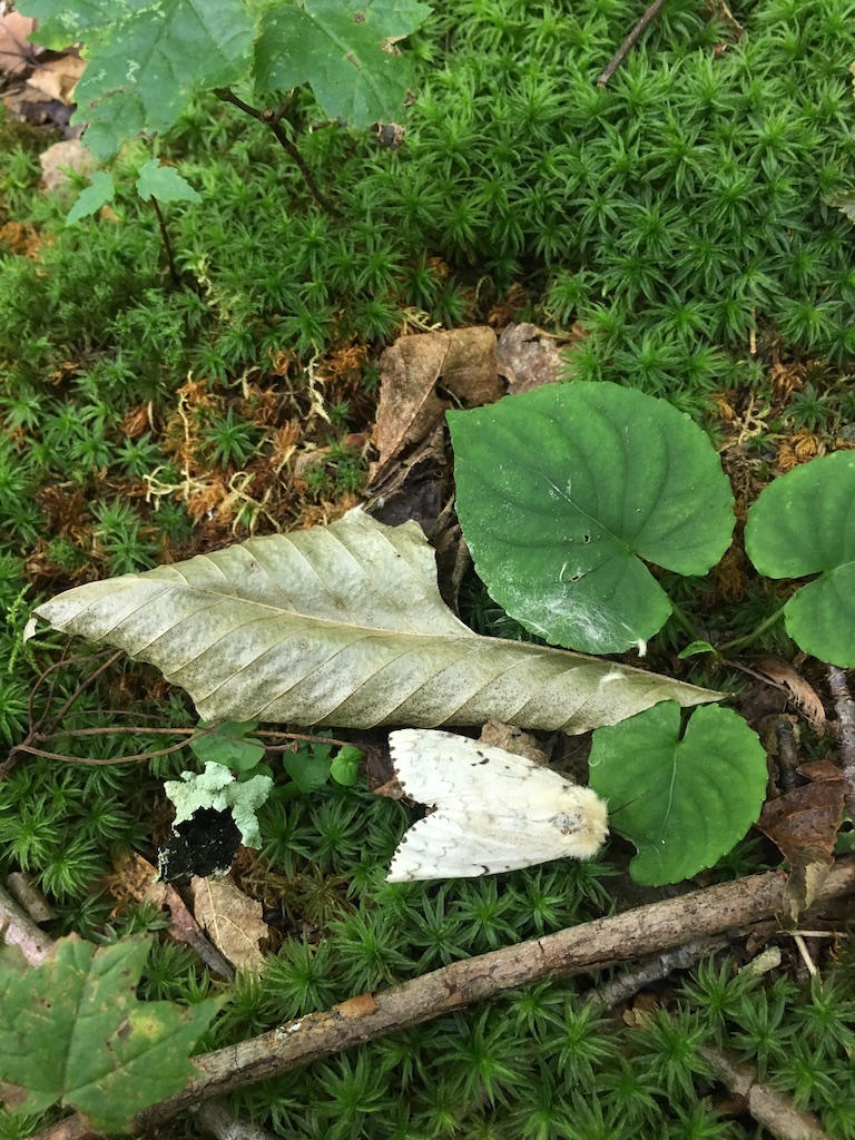
The 35-acre Berlin Road Preserve is defined by an eclectic mix of woods, stream, and upland ecologies. This varied habitat is home to a diverse community of plants, as well as animal populations including trout, frogs, salamanders, and birds. During spring, the area is in particularly fine form: the understory is rich in spring ephemerals, and migratory songbirds are commonly found overhead as Haley Brook’s clear waters flow nearby through a scenic ravine.
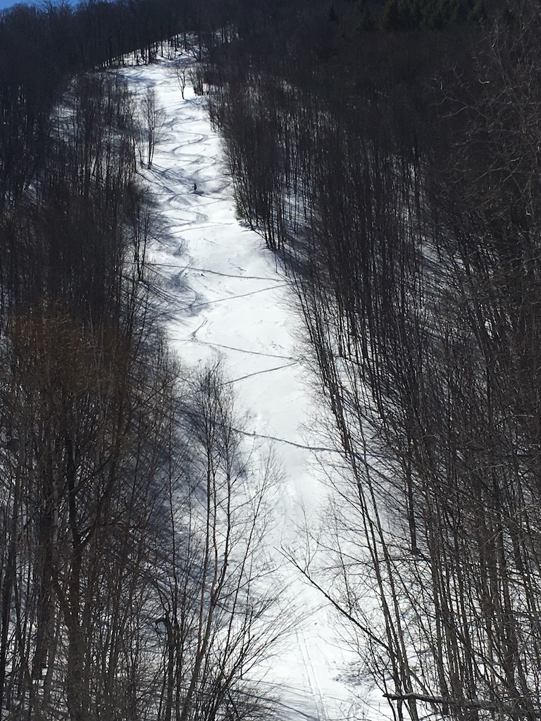
The property features a short loop trail and a hike to a waterfall overlook. It is one of a few access points to the 610-acre Berlin Mountain Recreation Area, which hosts a variety of trails for year-round multi-use recreation.
The WRLF Loop Trail is a short, 1.4 mile interpretive hike. As you walk around (and in some cases, through!) the gentle waters of Haley Brook, a series of illustrated placards teaches you fun facts about the Berlin Road Preserve’s natural history.
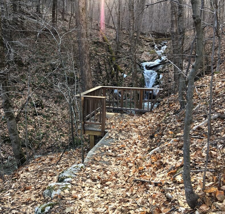
A short spur trail off of the Haley Brook Cutoff takes you to a horsetail waterfall near the property’s west edge. Here, you can pause and reflect at a wooden deck overlooking the falls.
This parcel is managed for the protection of rich natural and cultural resources, and recreation, with a view toward possible timber harvest at some future time. Of particular concern is forest health, especially in terms of invasive insects such as the emerald ash borer (Agrilus planipennis). Forest health is also affected by chronic wind damage on steep slopes, which affects the hiking trails and opens the canopy, potentially encouraging the establishment of invasive plant populations.
Size: 35 acresLongest Walk: 4.8 miles
Acquired: 1997
Photo Gallery
History
This area is part of a much-larger portion of land that was cleared for charcoaling during the 1800s, and charcoal pits can still be found throughout the property. Later, the land was grazed and eventually used for forestry — logging took place as recently as 1996, when only oak species were cut from the property. In 1997, WRL purchased the property to preserve access to local hiking trails, and to preserve part of the Taconic mountains.


