Buxton Brook Preserve
Location
Map Legend
Icons on the map can be clicked to get directions on Google Maps (works best for Parking Icons).
Directions
From the roundabout at Field Park, head west on Main Street for 0.7 miles and continue straight onto Petersburg Road. Drive another 0.7 miles (1.4 mi. total) and the Van Duyne property will be on your left.
Overview
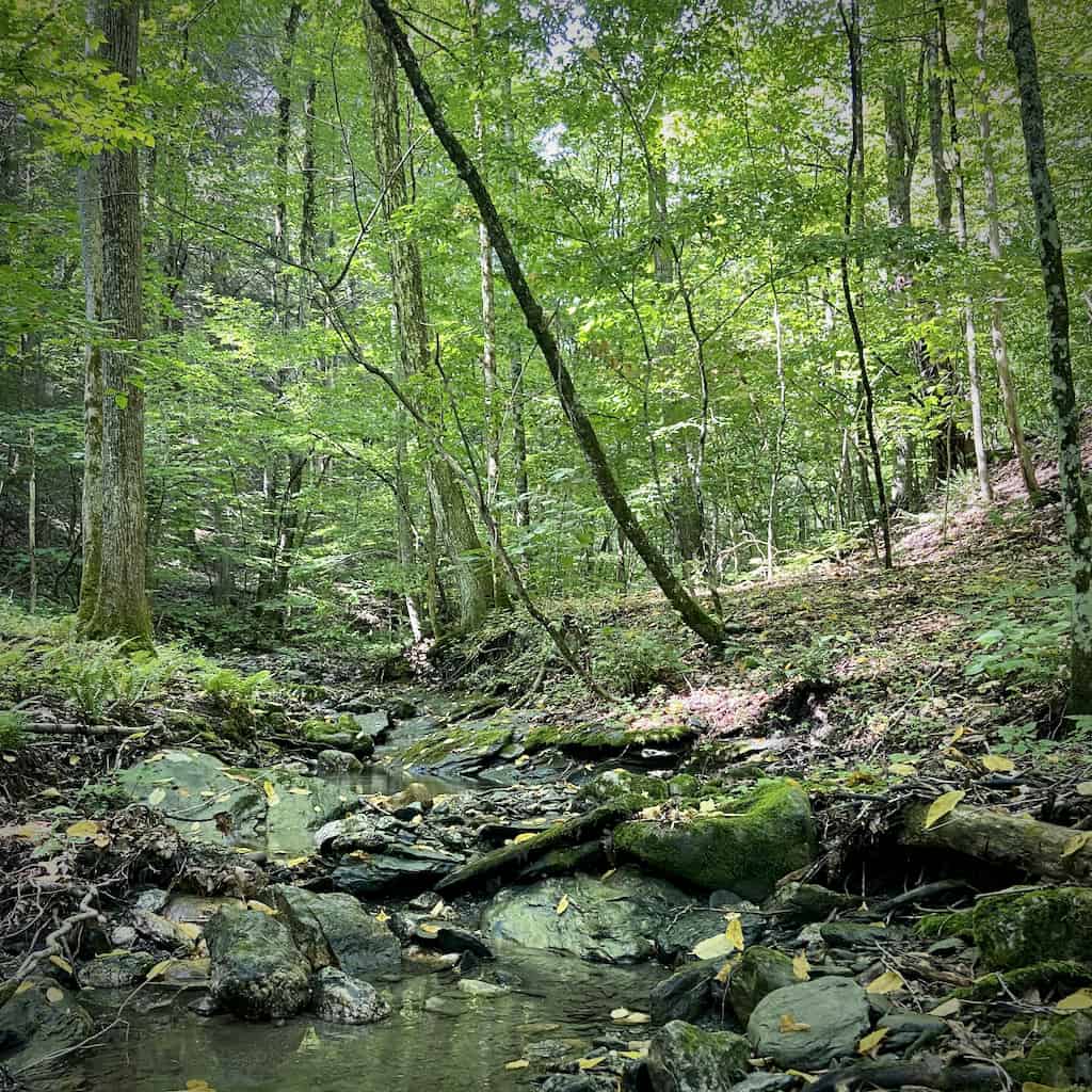
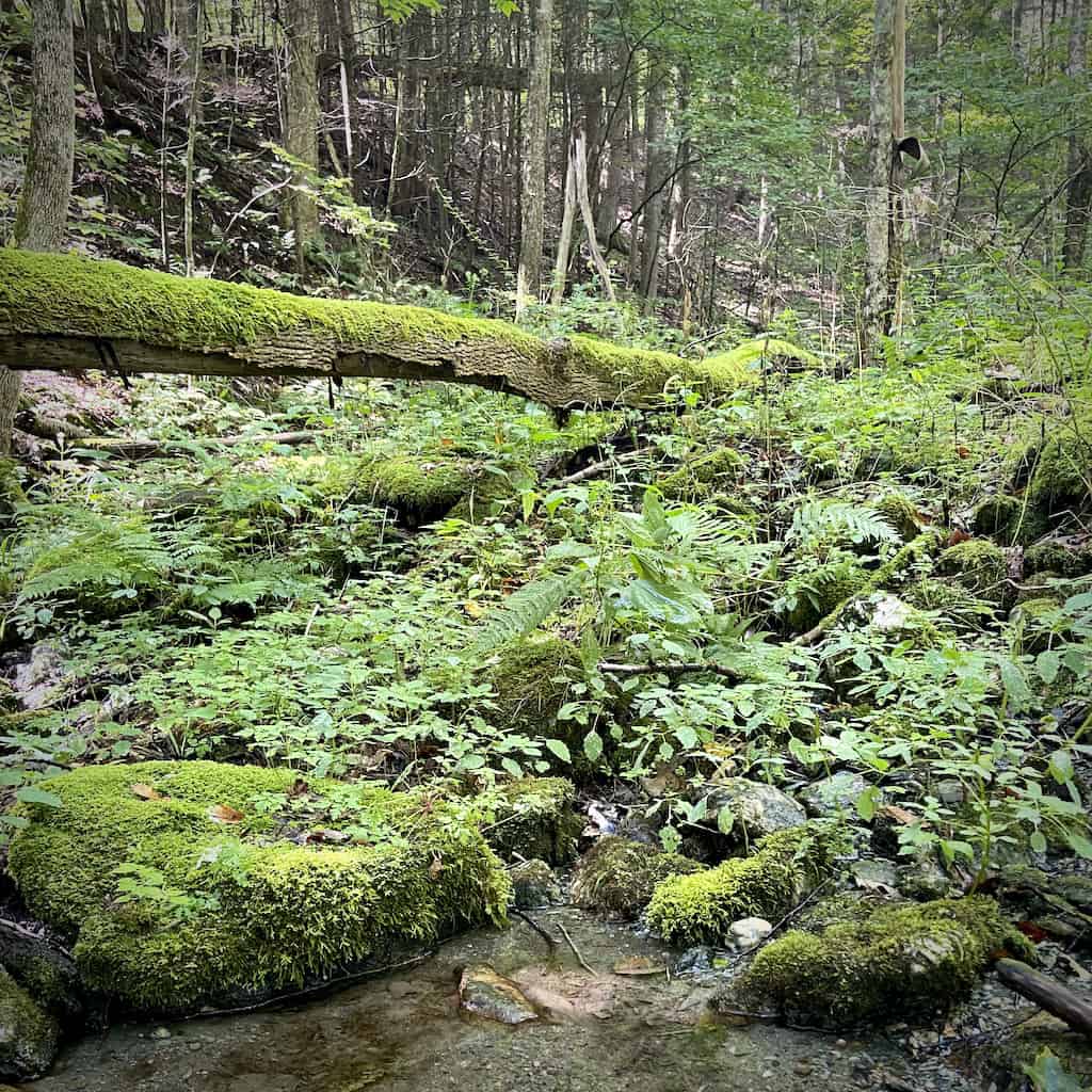
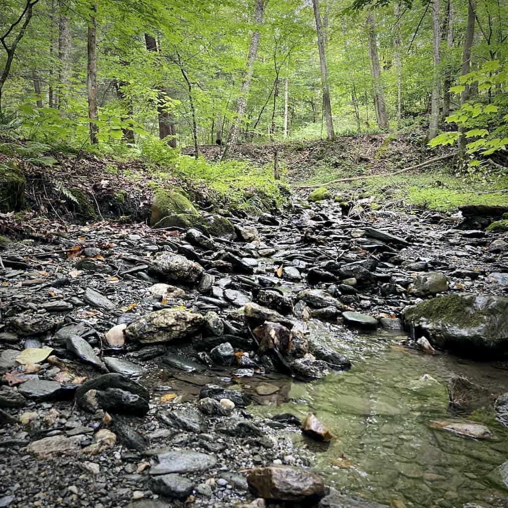
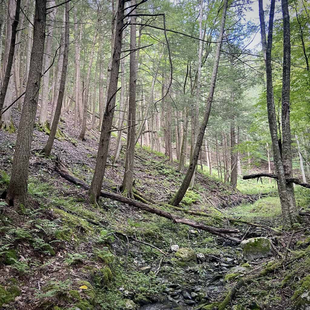
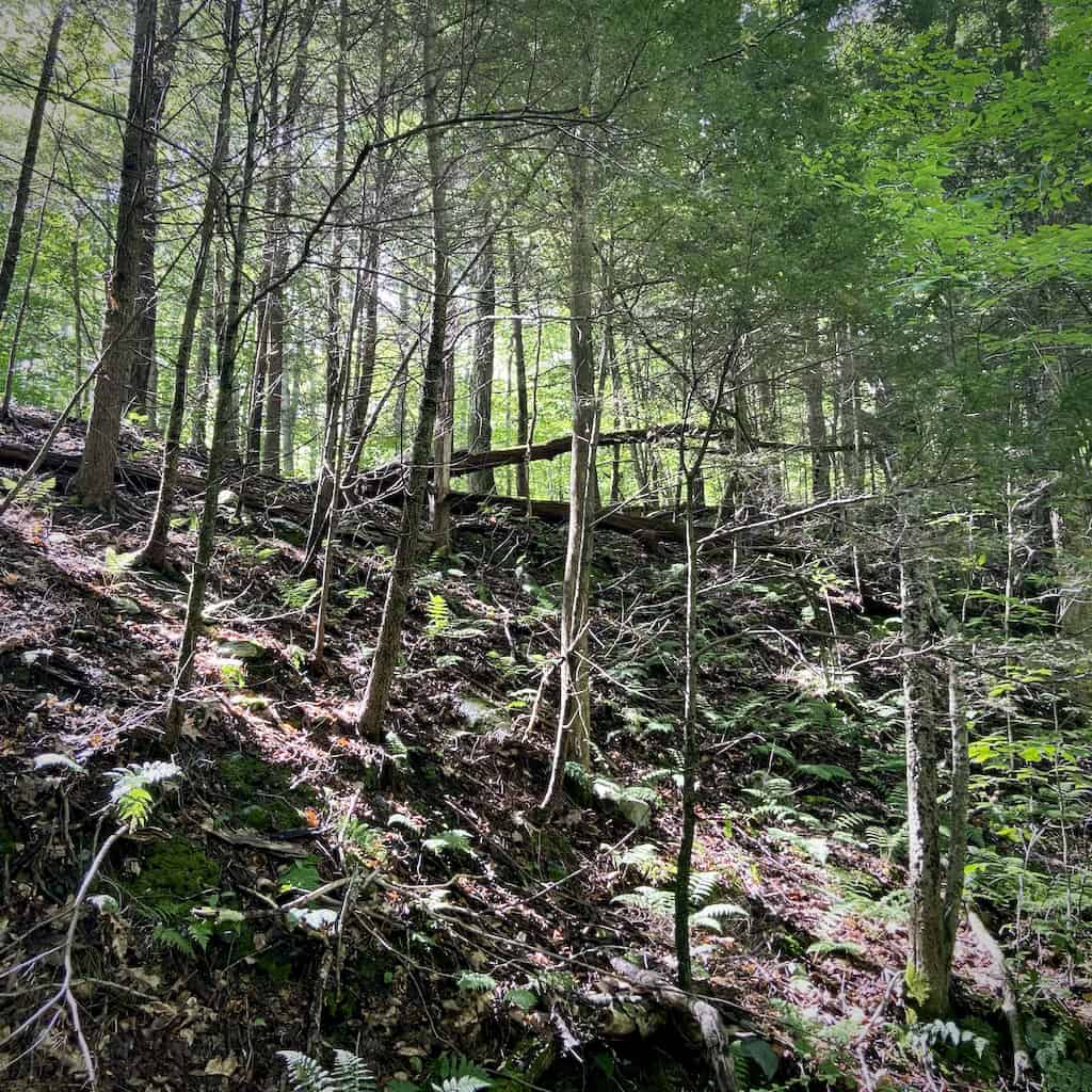
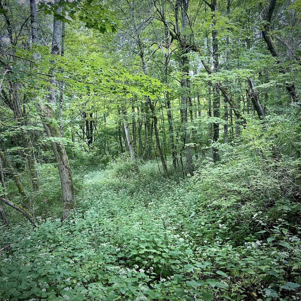
This 10-acre parcel off of Petersburg Road provides watershed protection to Buxton Brook, a sub-basin of the Hoosic River. The cascading, cold waters of this mountain stream bisect the property west-to-east. They flow nearly 1,000 feet through the property.
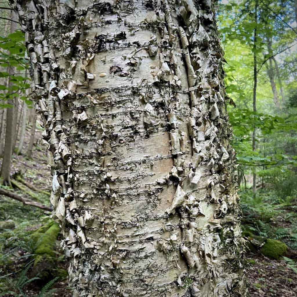
On either side of the stream, the land stretches steeply uphill. A shady hemlock grove looms over the south bank. Directly opposite, a canopy of New England tree species including white ash, sugar maple, yellow and black birch, and red oak shade the slope to the roadway.
The protection of land along waterways like Buxton Brook is critical. The stream species you might find here – Appalachian brook crayfish and brook trout, for example – need clean, cold water in order to thrive. A riparian buffer of protected land helps to create these conditions.
The local impacts of climate change, including increasing ambient temperature and extreme weather events, disproportionally affect cold-water stream communities. So does forest disturbance. An open forest canopy allows more sunlight to reach the forest floor and stream, which warms the water and allows for invasive plant growth.
Conservation of this parcel was made possible by Gerret and Kathryn Van Duyne, who gifted it to WRL in 2022.
Size: 9.67 acresLongest Walk: There are no trails on this property.
Acquired: 2022
