Cold Spring
Location
Map Legend

Icons on the map can be clicked to get directions on Google Maps (works best for Parking Icons).
Directions
To visit the spring: Drive south on Route 7 from Field Park (the roundabout) for about 1.3 miles. The spring is across from the northern end of Sheep Hill. To park, pull off the highway onto the grassy mowed area of the property — on the left-hand side of the road (headed south). A trail leads from the road along the stream to the spring.
To visit the eastern boundary at the top of the property: Hike from Clark Art Institute’s Stone Hill Road Trail, heading west to the top of the cliff. The boundary is marked with blue WRL tree tags. Please do not try to descend to the spring from this access point.
Overview
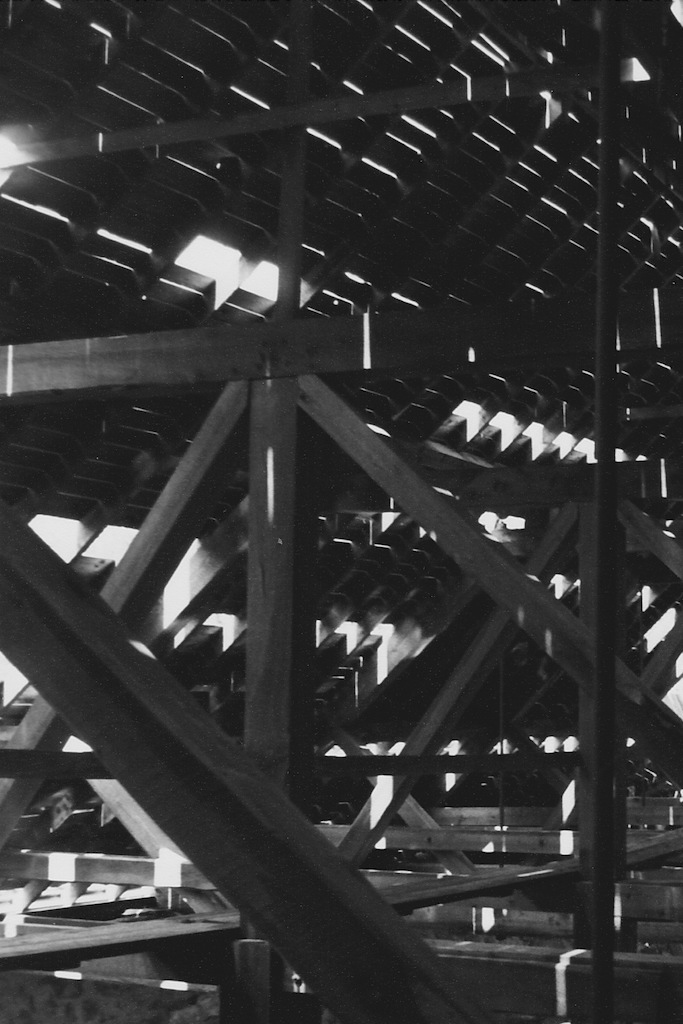
This unique spot was the source for Williamstown’s first-ever water delivery system in 1847. In the late 18th and early 19th centuries, Williams College realized that water delivery to college buildings was insufficient, and a commission was formed to address the issue. Not long after, wooden pipes — yes, you read that right — were installed to channel water from Cold Spring to downtown Williamstown. Though much of the town eventually switched to other water sources as the years went by, the Cold Spring was in use up until the 1960s.
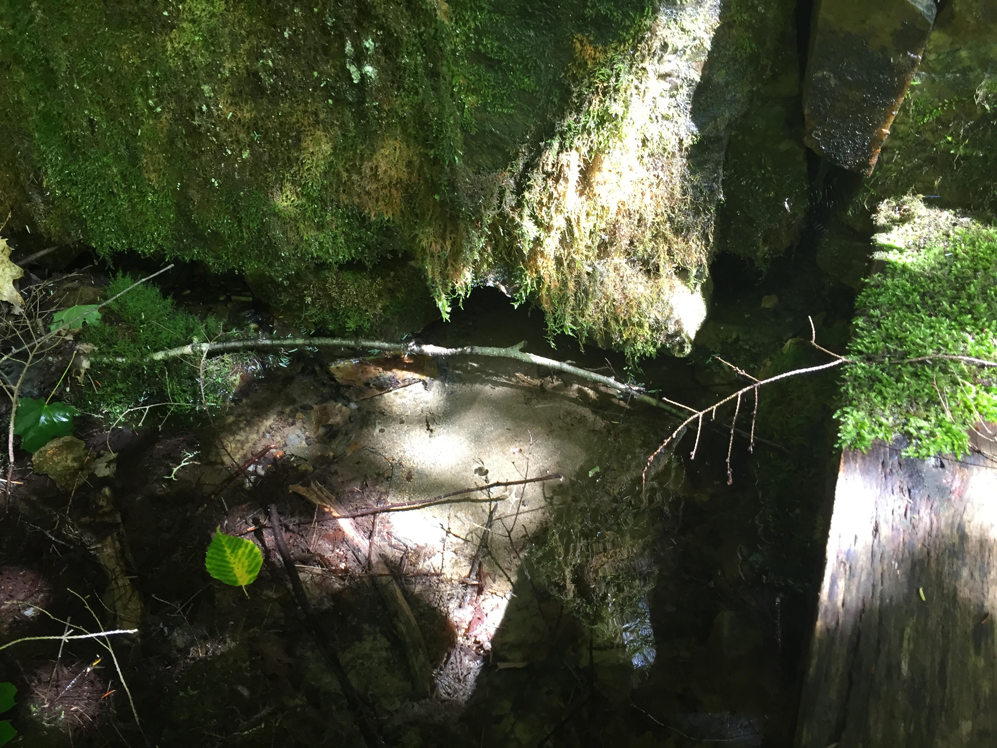
The property has two distinct ecologies: steep quartzite cliffs dominated by eastern hemlock forest, and an early successional area at the base of the cliffs near the spring. Along the stream leading from the spring, there is a small seep area. The stone impoundment structure is still intact around the spring’s waters.
Size: 2.84 acresLongest Walk: 150 feet
Acquired: 2005
Photo Gallery

History
Not long after the Williamstown Water Company began piping water from Cold Spring in 1847, the company went bankrupt. Another outfit was formed by 1860, known variously as the Williamstown, or Williams, Aqueduct Company. One-hundred years later, everyone had shifted to more efficient water sources. (The Cold Spring, which relied on gravity for delivery, was situated just 30-feet higher than many of its recipients. Needless to say, the water pressure left something to be desired.) The property was abandoned by the Town, and in 1985 Pamela Weatherbee bought it. Ms. Weatherbee gifted the property to WRL in 2005.