Five Corners
Location
Map Legend
Icons on the map can be clicked to get directions on Google Maps (works best for Parking Icons).
Directions
Pull off on the shoulder of Route 43 at Five Corners, or park at the Store at Five Corners and carefully cross the road.
Overview
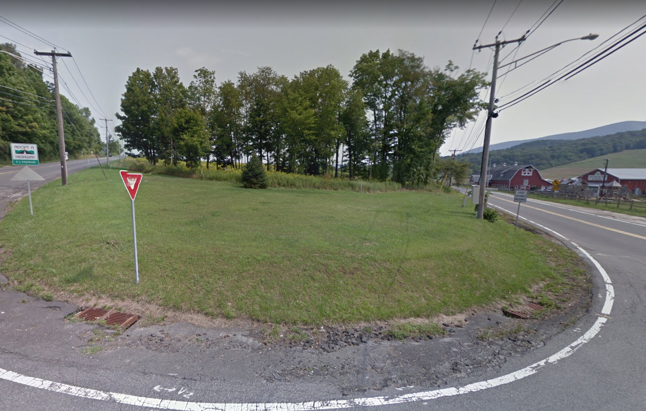
WRL’s Five Corners property is one of the corners in Williamstown’s formally recognized Five Corners Historic District. In particular, it is the northerly wedge between Routes 7 and 43. This small parcel of land was protected largely to maintain the scenic southern entrance to Williamstown, which includes views of the Hopper and Mt. Greylock, as well as the long-running Store at Five Corners.
The property is a mix of open space and woodland. Its front half is mowed grass; farther back, the plot is wooded with a young, dense understory. Maple seedlings, jewelweed, and invasive species vie for dominance. Overhead, there are ash trees, as well as a few elms and cherries. In 2011, the South Williamstown Community Association planted a large evergreen tree to serve as a holiday tree, which they light annually in December in a community event.
Size: 1.1 acresAcquired: 1991
Photo Gallery
History
Dormant