Lehovec Natural Area
Location
Map Legend

Icons on the map can be clicked to get directions on Google Maps (works best for Parking Icons).
Directions
There is a small (two-car) parking area at the end of Woodlawn Drive. A short trail leads quickly downhill from this parking area to a T-junction with the Town of Williamstown’s sewer line easement. Turn left (northeast) and walk along the easement for a few hundred feet until you see a sign for the Lehovec River Walk.
Overview
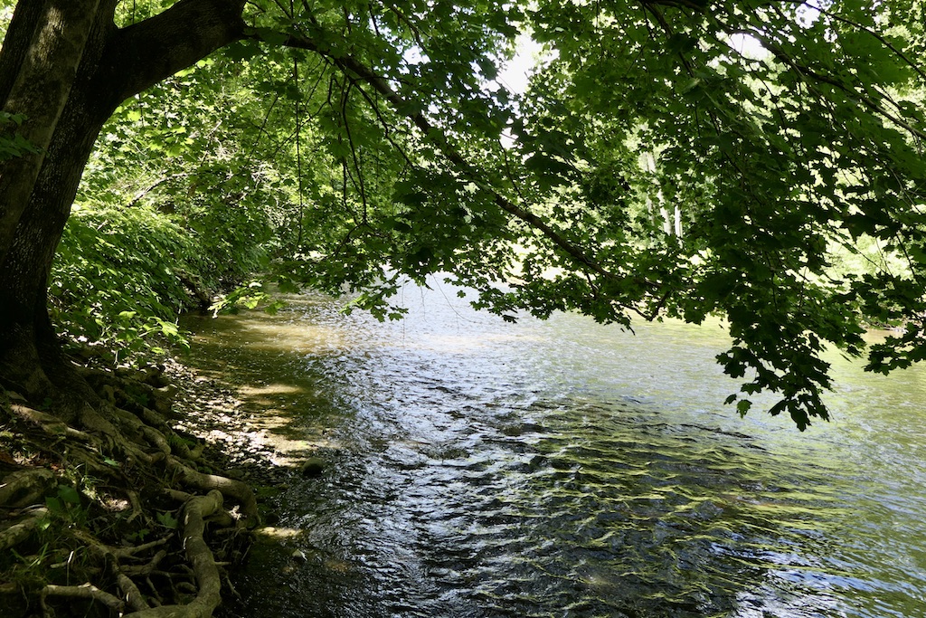
The Lehovec Natural Area offers a peaceful respite along the banks of the Green River, within walking distance of downtown Williamstown.
The parcel is contained in an oxbow of the Green River: the river bends sharply east and then makes a return, bending back again towards its original course. The land to the west of this U-shaped curve is the Lehovec Natural Area, and a short trail — the Lehovec River Walk — leads to, and along, the water’s edge. The trail, which curves through dense riparian habitat, offers glimpses of flood-plain forest. This riverside habitat is an exceptional space for woodland, edge, and riverine bird species.
Conservation of this parcel was made possible by the Lehovec Family, who gifted it to WRL in 2014. It provides watershed protection, while maintaining the integrity of the Green River’s riverbank and riparian zone.
Size: 10 acresLongest Walk: 0.5 miles
Acquired: 2014
Photo Gallery

History
This property has historically been allowed to function as a flood-plain forest, with some bank work (installation of rip-rap, or large pieces of masonry) to protect the Town’s nearby sewer line.