Oblong Road
Location
Map Legend
Icons on the map can be clicked to get directions on Google Maps (works best for Parking Icons).
Directions
From the roundabout at Field Park, head south on Route 7 for 2.9 miles. Turn right on Woodcock Road and drive for 0.7 miles. The Oblong Road property will be on your left at the junction of Woodcock Road and Oblong Road.
Overview
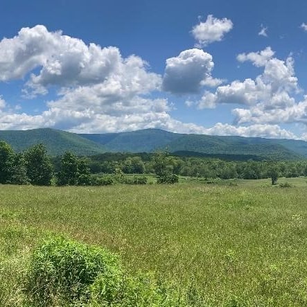
Rural Lands acquired this 10-acre parcel to protect historic farmland along Williamstown’s scenic Oblong Road.
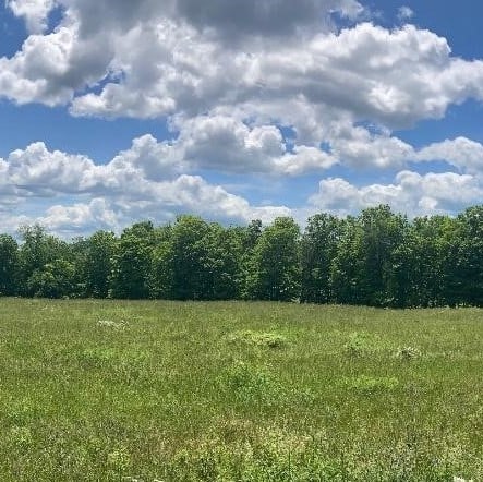
The parcel is largely pastureland. It is lined on its east and south sides by rows of sugar maples. A cluster of these trees forms a shady respite — the future site of a public picnic area — and Sweet Brook’s waters run downhill along the property’s southern edge. In all, the 10 acres forms a broad plateau that overlooks pasture and hay fields, as well as a beaver meadow. Mount Greylock rises dramatically in the distance.
This land was originally part of the neighboring Sweet Brook Farm, which has been in operation for eight generations. It sits in the valley between Mt. Greylock and the nearby Taconic Crest, part of what the Commonwealth of Massachusetts has designated ‘Distinctive Landscape’.
Rural Lands will keep the land in agricultural use and allow public access.
Size: 10 acresLongest Walk: There are no trails on this property.
Acquired: 2023
Photo Gallery