Pine Cobble
Location
Map Legend

Icons on the map can be clicked to get directions on Google Maps (works best for Parking Icons).
Overview
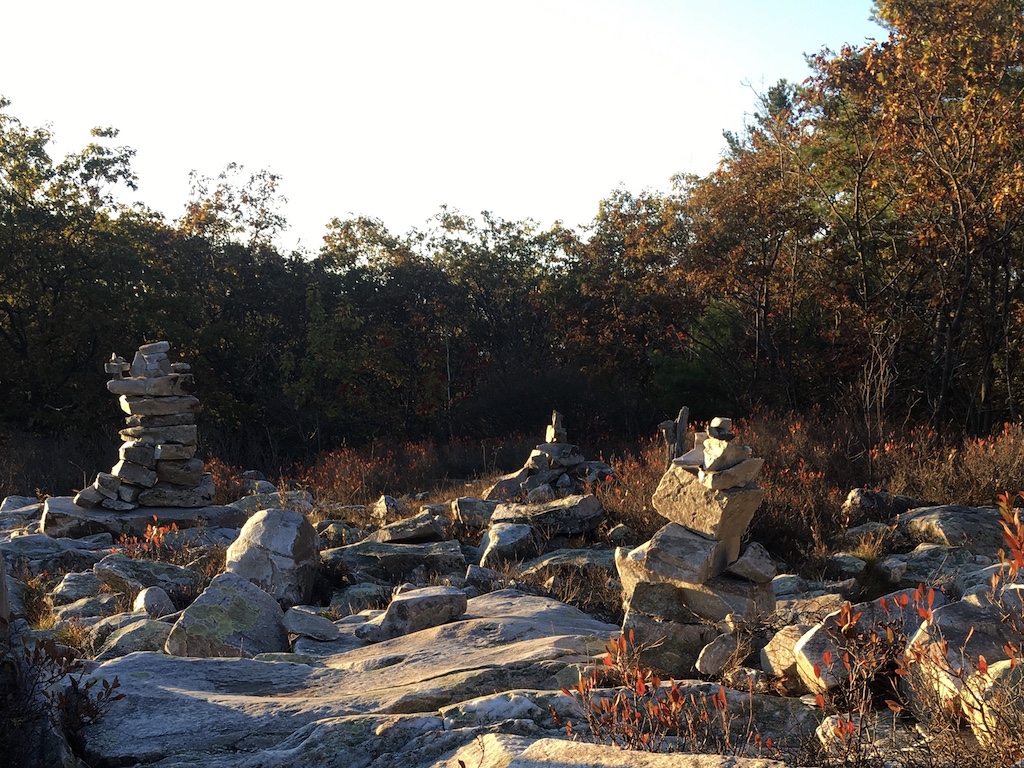
The nearly 400-acre Pine Cobble Preserve is well-known to many who live in, or visit, Williamstown. It is the home of the Pine Cobble Trail, a classic Williamstown hike that takes you quickly uphill to a quartzite cobble with expansive views of Williamstown, North Adams, and the Taconic and Hoosac Ranges.
Although the hike and view are spectacular, the preserve — and East Mountain more broadly — has a lot more to offer. This area is significant for a variety of reasons.
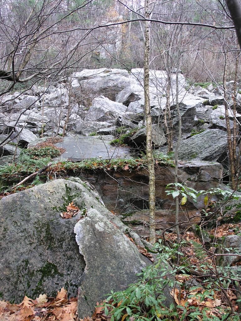
Take note next time you hike through any of the trails in the Pine Cobble Preserve: you pass through a variety of habitats, and of particular note are the geology and shrub communities, as well as the summit pitch pine tree population.
The shallow soils and quartzite rock outcroppings found throughout the property make poor habitat for most typical New England burrowing species. But, it is precisely these features that offer unique denning opportunities for animals like porcupine, bobcat, and snakes!
The shrub layer — particularly as you gain elevation — includes many soft mast-producing species like shadbush, blueberry, huckleberry, and purple choke cherry (‘mast’ are forest-tree fruits), all of which encourage a diversity of nesting birds.
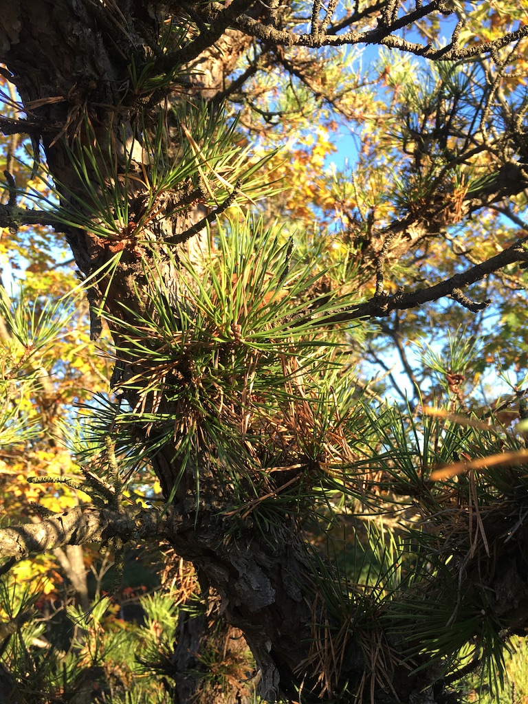
Finally, Pine Cobble’s namesake: the pitch pine. As you walk along the top of East Mountain, you will see many small-to-medium sized pine trees with gnarly, twisted branches. These are pitch pines, a fire-adapted tree species uncommon in this part of the Commonwealth. (You would have to trek considerable distance to see another stand of pitch pine in Massachusetts. The nearest populations are located just east of Greenfield and south of Great Barrington.)
The distinct ecology and scenic views are part of what makes Pine Cobble special, but there are other reasons for its conservation. The land includes important recreational and hydrologic assets.
In addition to hosting sections of the Pine Cobble Trail, Class of ’98 Trail, and Chestnut Trails — WRL’s land also includes small sections of the Appalachian Trail and access to Vermont’s Long Trail. And if you take a swig from your water bottle while hiking any of these paths, remember this: you’re traversing the aquifer recharge zone for the Williamstown’s municipal drinking water!
Size: 371 acresLongest Walk: 4 miles
Acquired: Various: 1988, 1989, 2005
Photo Gallery
History
The Pine Cobble area was utilized as woodlot during the 19th century, for cordwood and saw logs. Additionally, blueberry picking was a common activity, and fire was used to promote blueberry productivity.