Reynolds Field
Location
Map Legend

Icons on the map can be clicked to get directions on Google Maps (works best for Parking Icons).
Directions
No formal parking: pull off on edge of Oblong Road.
Overview
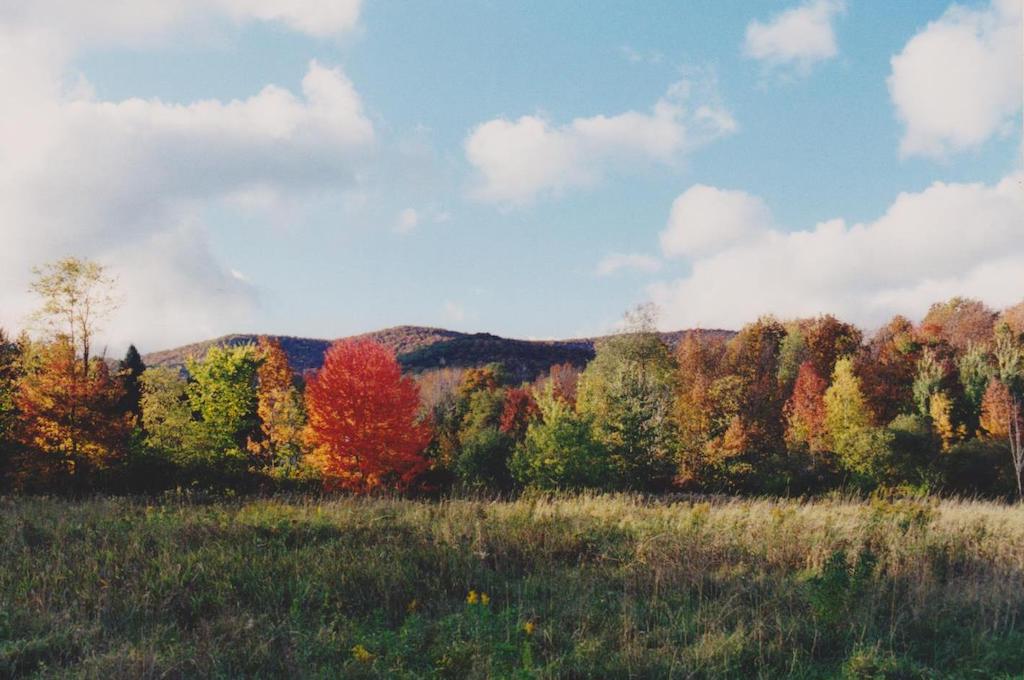
Reynolds Field, with its gently rolling knolls and swales, sits between the base of the Taconic Mountains and the West Branch of the Green River. This property fills a number of roles: Its open fields provide crucial habitat to ground-nesting bird species, and its use as a hay meadow enhances the aesthetic and rural integrity of South Williamstown while providing an open space link between other protected properties.
Williamstown Rural Lands maintains a lease with a neighboring farmer to allow the continuation of agriculture on the property, primarily through hay production. Because the field is important habitat for field-nesting birds — like bobolink, eastern meadowlark, savannah sparrow, and red-winged blackbird — we mandate that the first cutting of hay cannot take place until July 10, after these species complete their nesting cycles.
Though the idyllic field is the property’s show-stopper, the north end features a section of dense woods with ferns, a mix of trees both young and old, intermittent streams, and edge habitat.
Size: 21.86 acresLongest Walk: 0.25 miles
Acquired: 1994
Photo Gallery
History
The Reynolds Field has historically been used as a hay field by a local dairy farmer.