West Branch Green River Preserve
Location
Map Legend

Icons on the map can be clicked to get directions on Google Maps (works best for Parking Icons).
Directions
Heading south, turn left off of Route 43 onto Old Mill Road. After 0.2 miles, the property is on the right. Park in small parking area bordered by split-rail fence.
Overview
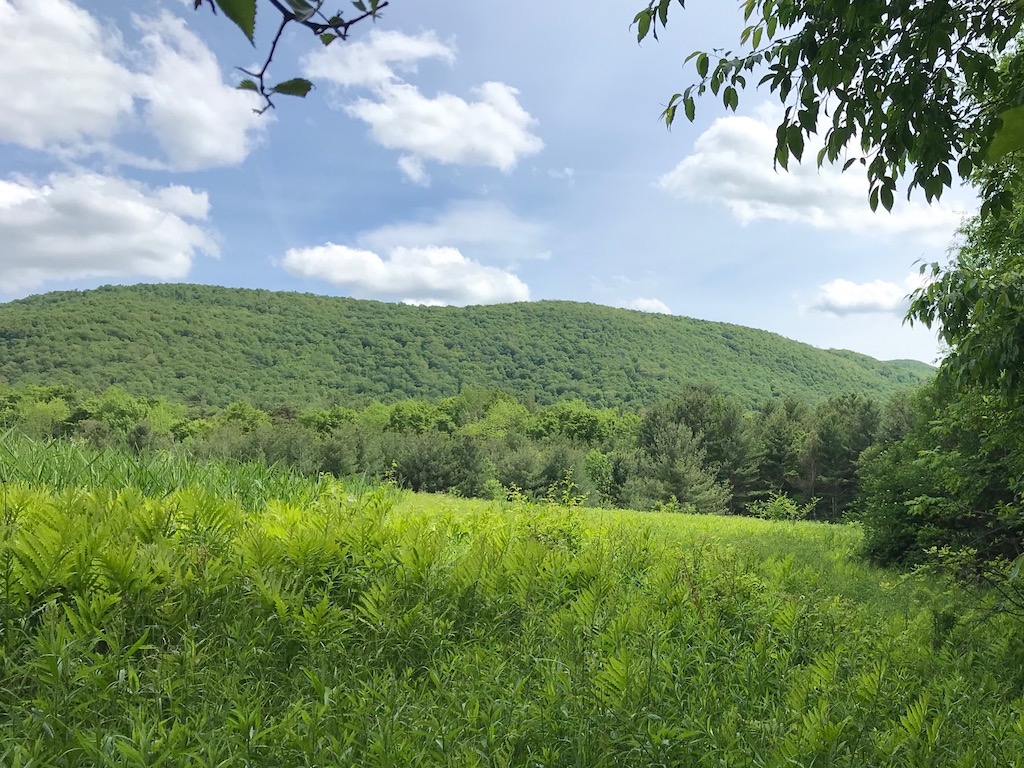
“West Branch,” as this property is affectionately known, sits just north of Brodie Mountain, in the upland between eastern and western branches of the Green River. (In fact, the west branch of the river enters the parcel’s west edge and traverses northeast, exiting from its north side.)
In conjunction with other nearby conserved land, West Branch helps to protect the Green River corridor while also bridging the distance between Brodie Mountain and the adjacent Taconic Ridge. It is wonderfully varied terrain. It features 2000′ of river frontage in addition to dense stands of evergreen and swaths of northern hardwoods. Its northwest section is run-through with seepages and intermittent streams. There is a warm spring and small swamps.
Currently, there are no trails on the property, but it is open to the public.
Size: 82 acresLongest Walk: No trails
Acquired: 2018
Photo Gallery
History
The West Branch property was farmed during much of the 20th century by the Brookman family. They purchased the farm in 1921, and three generations of Brookmans worked the land until the 1970s. During that time, fields were hayed, maple sap was pulled from a sugarbush, and animals grazed pasture.