1.9 m climb to the Taconic Crest Trail. Strenuous. You can then retrace steps or make a loop by returning via the Mills Hollow Trail. 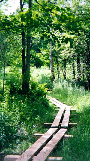 Directions from Spring St. trail kiosk
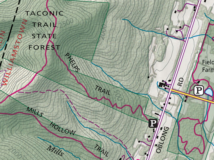
Drive west on Main St. (Rt. 2) past the Williams Inn, continuing on Rt. 7 to the intersection with Rt. 43 (Five Corners). Turn R on Rt. 43 and quickly right on Sloan Rd., up to where it T’s at Oblong Rd. Then turn L and at 0.3 m turn right into a small parking area, where you will find the trailhead.
Directions from Sheep Hill trail kiosk:
Turn right at the bottom of the driveway and follow Rt. 7 to the intersection with Rt. 43 (Five Corners). Turn R on Rt. 43 and quickly right on Sloan Rd., up to where it T’s at Oblong Rd. Then turn L and at 0.3 m turn right into a small parking area, where you will find the trailhead.
Trail description:
The Phelps Trail climbs 1300′ to its intersection with the north-south Taconic Crest Trail. En route it crosses four two-centuries-old stone walls, reminders that this steep hillside was once cleared and used for grazing.
Blue blazes mark the route, which sometimes coincides with old woods roads. You may see signs of old charcoal pits. After the third stone wall the hill levels off, and you walk along the spine of an E-W ridge, with views north, south, and east. The trail then widens as it coincides with another old woods road, and climbs again until it meets the Taconic Crest Trail.
Return to the trailhead by retracing steps, or go left on the Taconic Crest Trail for 1.0 m until it meets the Mills Hollow Trail. Turn left on Mills Hollow, an old road that descends gently along the shoulder of a hollow —
it once permitted farm vehicles to cross the Taconics — and offering pleasant views down into the hollow. You will see some evidence of logging. When the trail T’s, turn left and walk a few hundred yards out to the border
between woods and fields. Follow the track out to Oblong Rd, where you are about 0.4 m (a ten-minute walk) south of your starting point.
The Phelps Trail is maintained by Williamstown Rural Lands Foundation, the Taconic Crest Trail by the Taconic Hiking Club, and the Mills Hollow Trail by Williamstown Rural Lands Foundation and the Williams Outing Club.
(Click the red pin for directions)
NOTE: The WRLF partners with the Williams Outing Club (WOC) to maintain and improve Williamstown area trails.
The WRLF is grateful to the WOC for allowing it to use the trail information shown here. For more detailed information on area trails, the WOC Northern Berkshire guide and a full map of all area trails are available. Please contact the WOC or the WRLF for where to find the guide and maps