Sheep Hill
Location
Map Legend

Icons on the map can be clicked to get directions on Google Maps (works best for Parking Icons).
Directions
From Field Park (the roundabout) in Williamstown, drive south on Route 7.
After 1.4 miles, Sheep Hill is on the right.
Overview
Sheep Hill is the home of Williamstown Rural Lands.
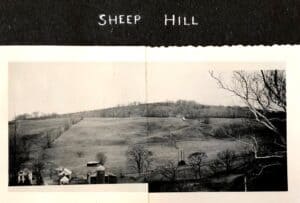
Once-upon-a-time, it was a 50-acre dairy farm known as Sunny Brook Farm. Art and Ella Rosenburg, and their son “young Art,” moved to the farm in 1933. They maintained a milking herd for more than 50 years and lived in the picturesque farmhouse just off of Cold Spring Road. Learn more about Sunny Brook Farm at the Interactive History of Sunny Brook Farm website.
Mary & Craig Lewis Center for Nature and Rural Heritage
Today, the 19th-century farmhouse is the home base for WRL. It holds our offices, a small lending library, meeting spaces, and a classroom. It is the jumping-off point for seasonal programming like Full Moon and Firefly Hikes, Kids Nature Programs, and public lectures and workshops. You can also start your own adventures here: the classroom is stocked with binoculars, field guides, and other materials that you can use while exploring Sheep Hill.
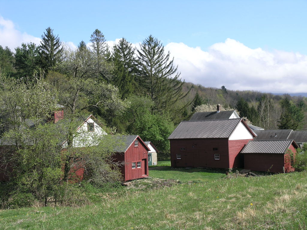
Jack & Maureen Dietze Interpretive Center
Sheep Hill has a variety of barns and outbuildings, all of which are still in use. But don’t worry: instead of horses and cows milling about, you’ll find interpretive exhibits on rural life and natural history that will enrich your visit to Sheep Hill and Williamstown.
The Tool Shed, Milk House, and Horse Barn feature displays about the farm’s history. The Nature Cabin is always open, with frog nets and other nature exploration materials.
Meadow
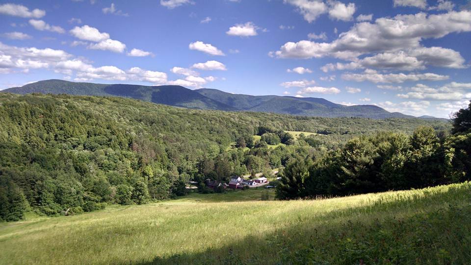
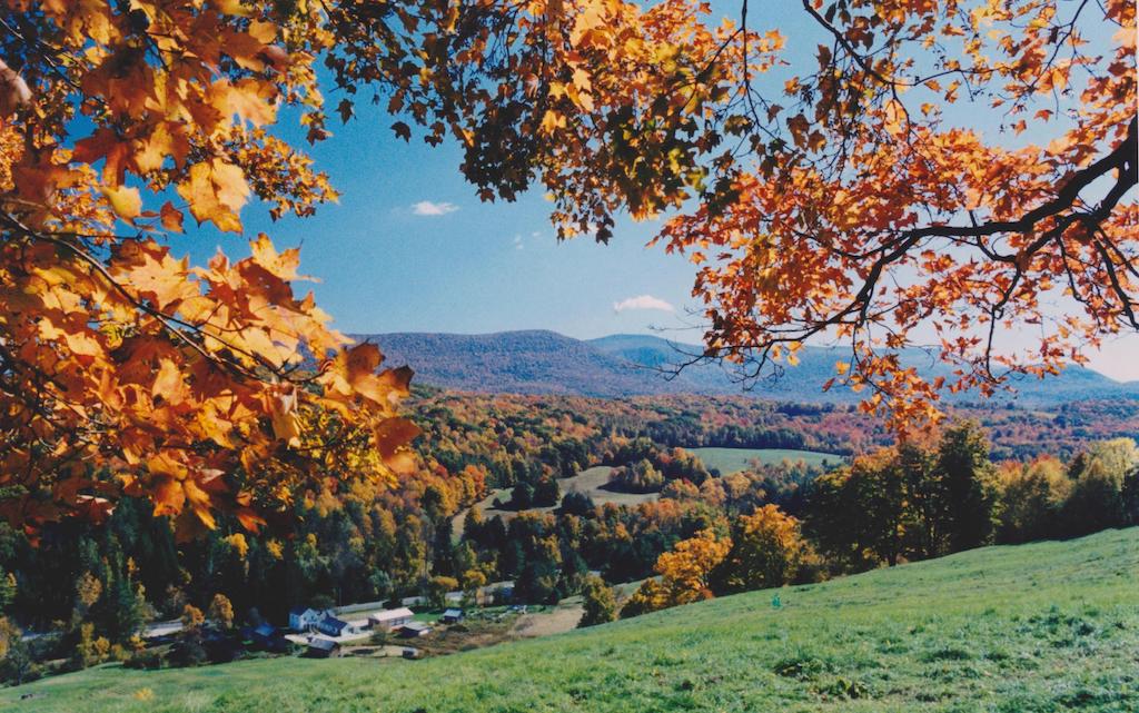
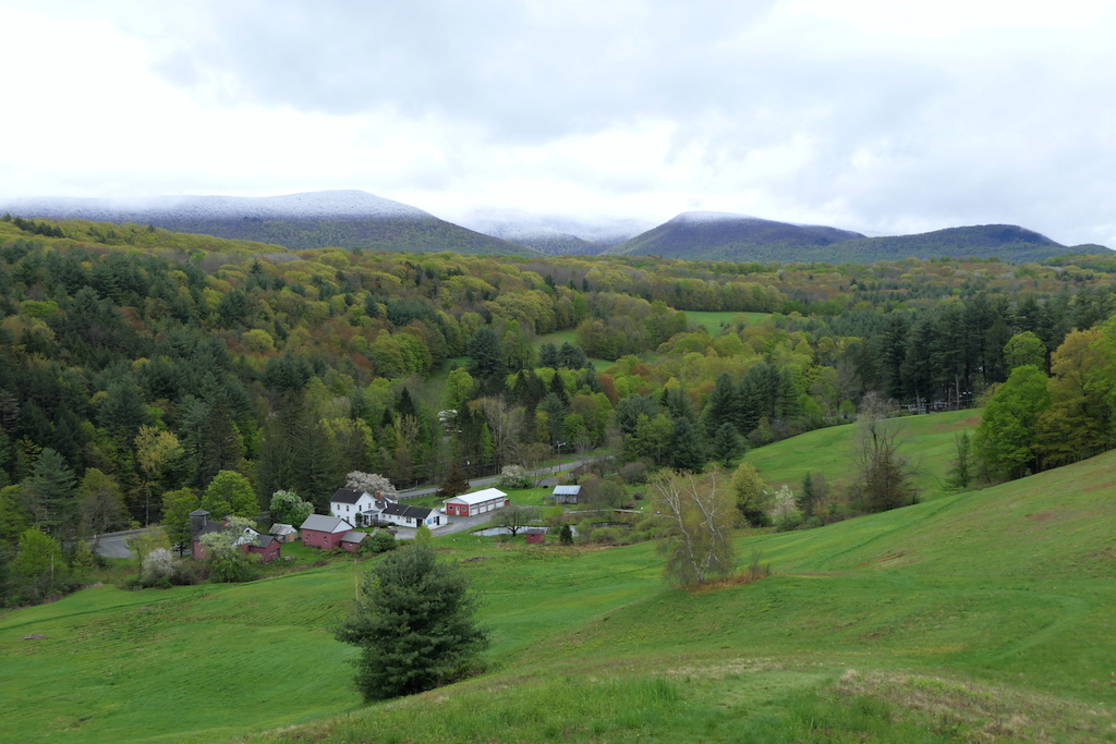
The stunning backdrop to all of this is a “cultural meadow” on Sheep Hill. At one point, this steep slope was commonly grazed by sheep. Today, it is maintained by biennial mowing, which provides habitat for countless insects, birds and many other creatures. Walking loops tour the field, and the view of Mt. Greylock to the east is about as good as it gets.
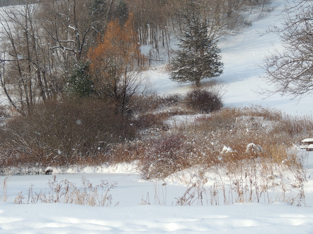
Several wooded areas — hedgerows and forest edges — shelter intermittent and perennial streams. The large trees provide excellent perch spots for raptors on the hunt over the meadow. At the base of the hill, a wetland, seepage marsh, and the constructed Josiah’s Pond provide habitat for water-loving plants, algae, amphibians, invertebrates, and birds, among groups.
The grounds and hiking trails at Sheep Hill are open year-round to the public, free of charge. Picnicking, hiking, and bird watching are just some of the activities possible at Sheep Hill. (Sledding is a wintertime favorite!) The Dietze Interpretive Center is open in spring, summer, and fall on weekdays, and the Lewis Center (our office) is open year-round on weekdays. You are welcome to visit.
Size: 52.5 acresLongest Walk: 1.5 miles
Acquired: 2000
Photo Gallery


History
Sheep Hill has primarily been used as agricultural land since the early 19th century. The slopes were grazed by cows and sheep, and some crops were harvested during the mid-to-late 20th century.
In addition to farming, Sheep Hill was also used as a local ski area. The Williams Outing Club operated a rope ski tow here during the 1930s-1950s.
Check out the WRL YouTube playlist for videos about Sheep Hill’s past.
Activities
Backcountry skiing, Dog walking, Hiking, Nature Study, Picnicking, SleddingAdditional Information
More history of Sunnybrook Farm and Sheep Hill is available on our Interactive History of Sunnybrook Farm page: